Area dell'identificazione
Codice di riferimento
PDM-09-63051
Titolo
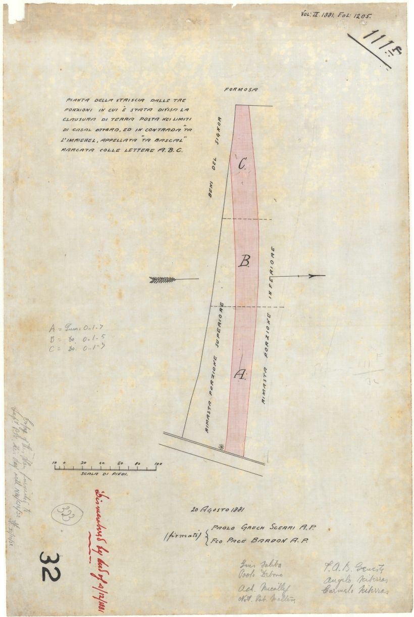
Plan of three strips of land in which a portion of land was divided at the limits of casal Attard in Ta Mriehel road, named Ta Bascal and shown with the letters A, B, C.
Date
- 20/08/1881 (Creazione)
Livello di descrizione
Unità documentaria
Consistenza e supporto
One Plan in Colour